GeneralBreaking NewsBreakingLatest News
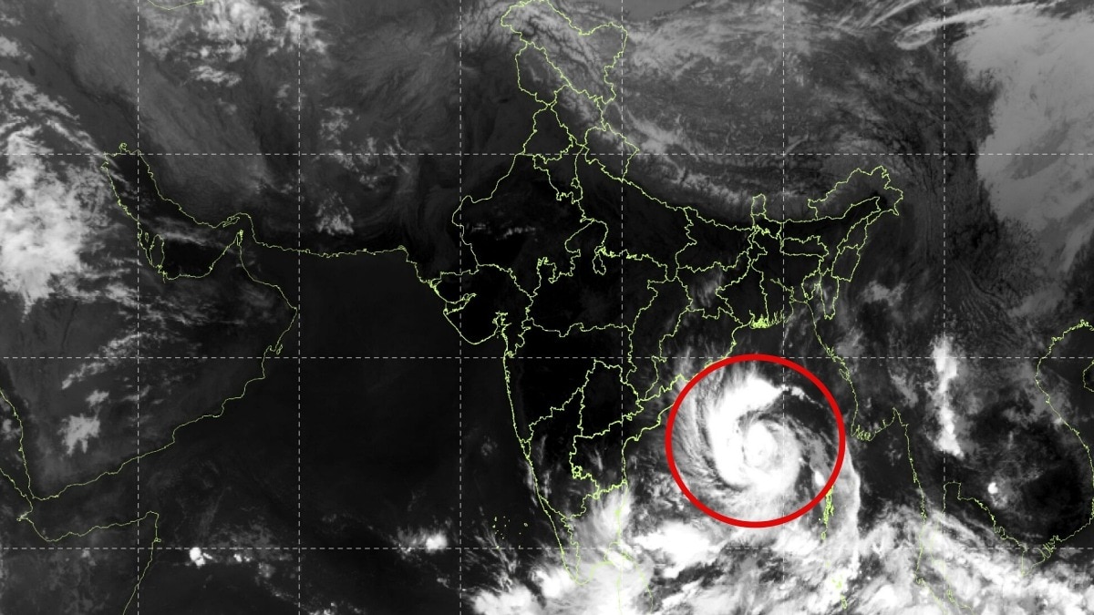
Cyclone Arnab Strengthens as It Approaches Andhra Pradesh, Satellite Images Show
Sentiment: NeutralHigh Priority
What Happened?
Cyclone Arnab is intensifying over the Bay of Bengal, prompting a red-level warning for Andhra Pradesh and south Odisha. The IMD forecasts the storm to reach the coast by October 28.
Key points
- Cyclone Arnab is currently located 610 km southeast of Gopalpur and 650 km east-southeast of Visakhapatnam.
- The storm is expected to reach maximum wind speeds of 115-125 kmph, with gusts up to 140 kmph.
- The IMD predicts the cyclone will intensify into a severe cyclonic storm by midnight on October 26.
- Authorities have issued a red-level warning for heightened preparedness along the vulnerable coastline.
- The cyclone is forecasted to cross the Andhra Pradesh coast between Bapatla and Visakhapatnam by the morning of October 28.
Key insights
- The cyclone's impact could disrupt fishing and maritime activities along the Andhra Pradesh coast.
- Residents in affected areas may need to follow evacuation instructions to ensure safety.
- The storm's intensity may lead to power outages and damage to temporary structures.
Why it matters
The cyclone poses a significant threat to coastal infrastructure and local communities in Andhra Pradesh.
Source
India Today