GeneralTop StoryTop StoryLatest News
IIT Madras Develops Ambulance Map to Improve Response Times After Accidents
Sentiment: NeutralHigh Priority
What Happened?
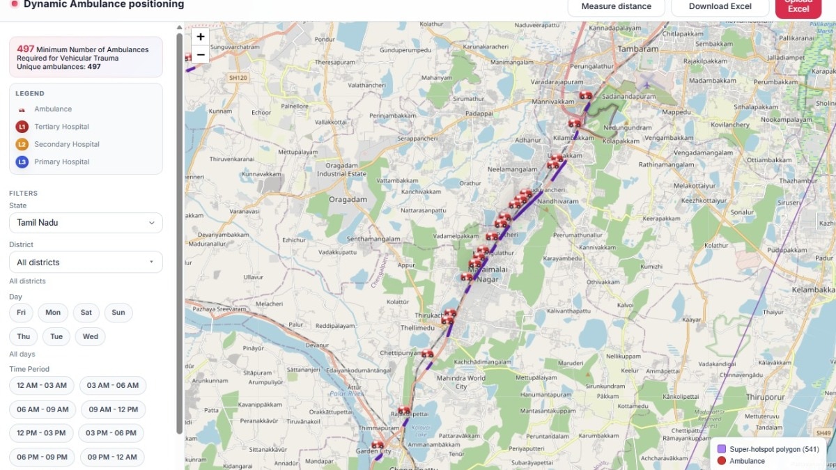
Researchers at IIT Madras have created a map to optimize ambulance positioning near accident hotspots, aiming to reduce response times. The map suggests 4,237 ambulances for 4,403 critical locations across India.
Key points
- The ambulance map is a planning tool called Dynamic Ambulance Positioning.
- It proposes 4,237 ambulances to cover 4,403 accident hotspots.
- The map is designed by the Centre of Excellence for Road Safety and RBG Labs at IIT Madras.
- In 2022, road accidents in India resulted in 168,491 deaths.
- The 'golden hour' refers to the critical hour after an injury when prompt care can save lives.
- The map is not yet public and is intended for state governments to plan ambulance placements.
Key insights
- Optimizing ambulance locations may lead to faster medical assistance during the golden hour.
- The map's implementation could reduce fatalities from road accidents in India.
- Local authorities will need to adapt the map based on specific regional regulations.
Why it matters
The ambulance map could significantly improve emergency response times, potentially saving lives in critical situations.
Source
India Today