GeneralBreaking NewsBreakingLatest News
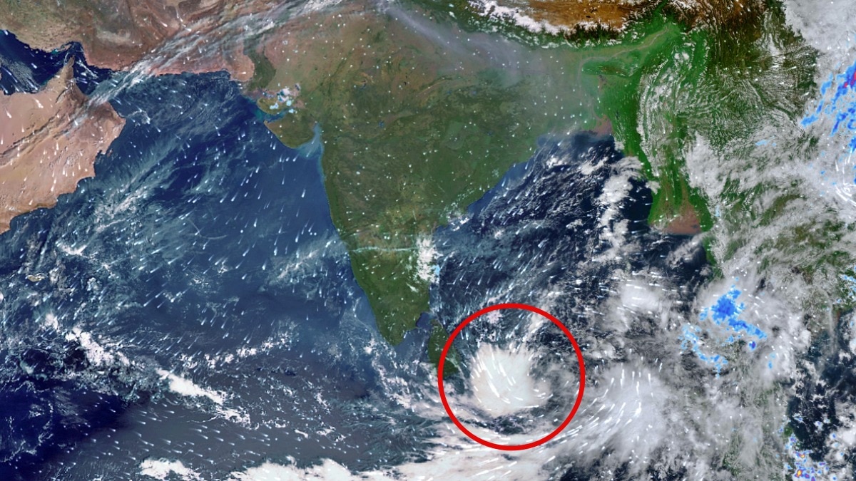
Isro Satellite Captures New Rain System Rising in Andaman Sea, Packing Gusty Winds
Sentiment: NeutralHigh Priority
What Happened?
The INSAT-3DS satellite has detected a low-pressure area developing over the Andaman Sea, with potential intensification into a depression by November 15. The India Meteorological Department warns of squally weather and strong winds.
Key points
- The low-pressure area formed at 5:30 AM IST on November 13.
- The system is expected to move northwest and become a well-marked low-pressure area by November 14.
- Wind speeds could reach 40-50 kmph, gusting to 60 kmph over the Andaman Sea on November 13 and 14.
- The IMD forecasts the system may intensify into a depression by November 15.
- The developing system is part of heightened activity in the Bay of Bengal during the post-monsoon season.
Key insights
- The system's intensification could lead to increased rainfall in coastal areas.
- Local authorities may need to prepare for potential evacuations or safety measures due to strong winds.
- The IMD's monitoring could provide timely updates for affected regions.
Why it matters
The development of this weather system could affect maritime activities and local weather patterns in the region.
Source
India Today