GeneralBreaking NewsBreakingLatest News
New Cyclone Brewing in Bay of Bengal? ISRO Satellite Reveals What's Happening
Sentiment: NeutralHigh Priority
What Happened?
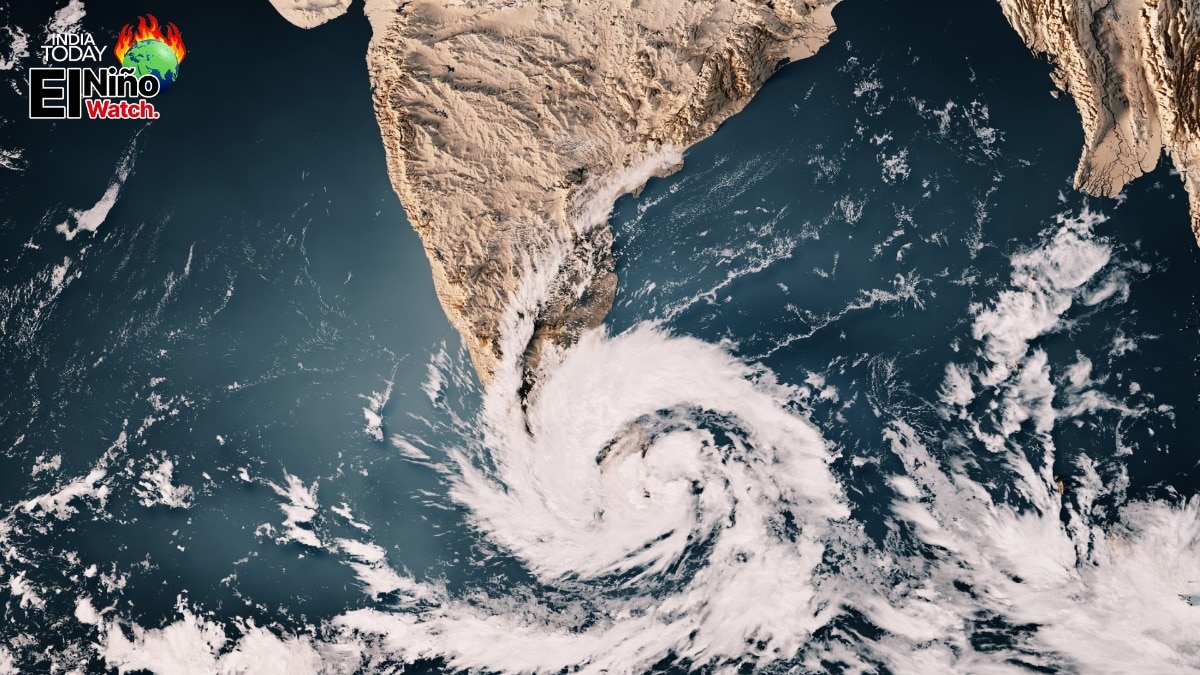
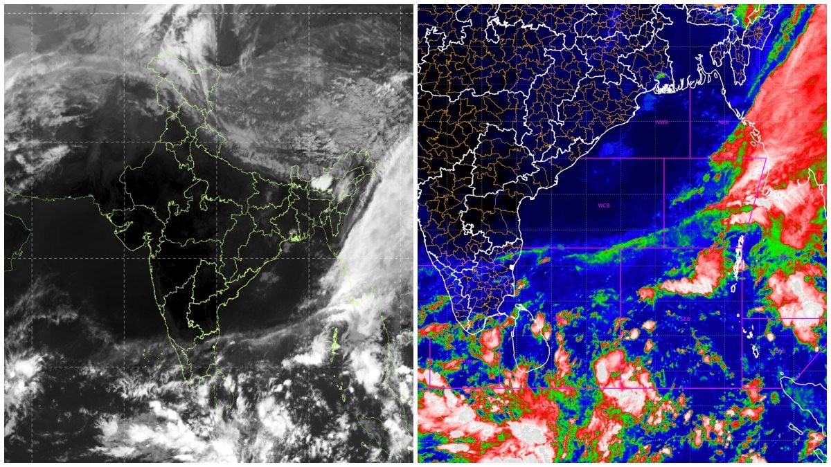
Satellite imagery shows extensive cloud formations over the Bay of Bengal, indicating a developing weather system. The IMD is monitoring the situation, with potential heavy rainfall expected.
Key points
- INSAT-3DS satellite captured cloud formations over the Bay of Bengal on November 11, 2026.
- The IMD is monitoring a developing weather system that could form a low-pressure area by November 13.
- Heavy rainfall is forecasted for Tamil Nadu, Puducherry, and Karaikal on November 10 and 11.
- The system may affect weather conditions in Tamil Nadu and Andhra Pradesh.
- A low-pressure area does not guarantee cyclone formation; it requires favorable atmospheric conditions.
Key insights
- If the low-pressure area strengthens, it could lead to preparations for a potential cyclone along the eastern coastline.
- The next 24-48 hours are critical in determining the system's development and potential impact.
- Active weather conditions in southern India may exacerbate the situation, leading to more rainfall.
Why it matters
The developing weather system could lead to significant rainfall, impacting agriculture and daily life in affected regions.
Source
India Today